Kargil to Padum Road Guide: Journey Through Suru Valley
An extensive guide detailing road conditions, fuel stations, homestays, and sightseeing options while traveling along the Suru River up to Pensi La pass.
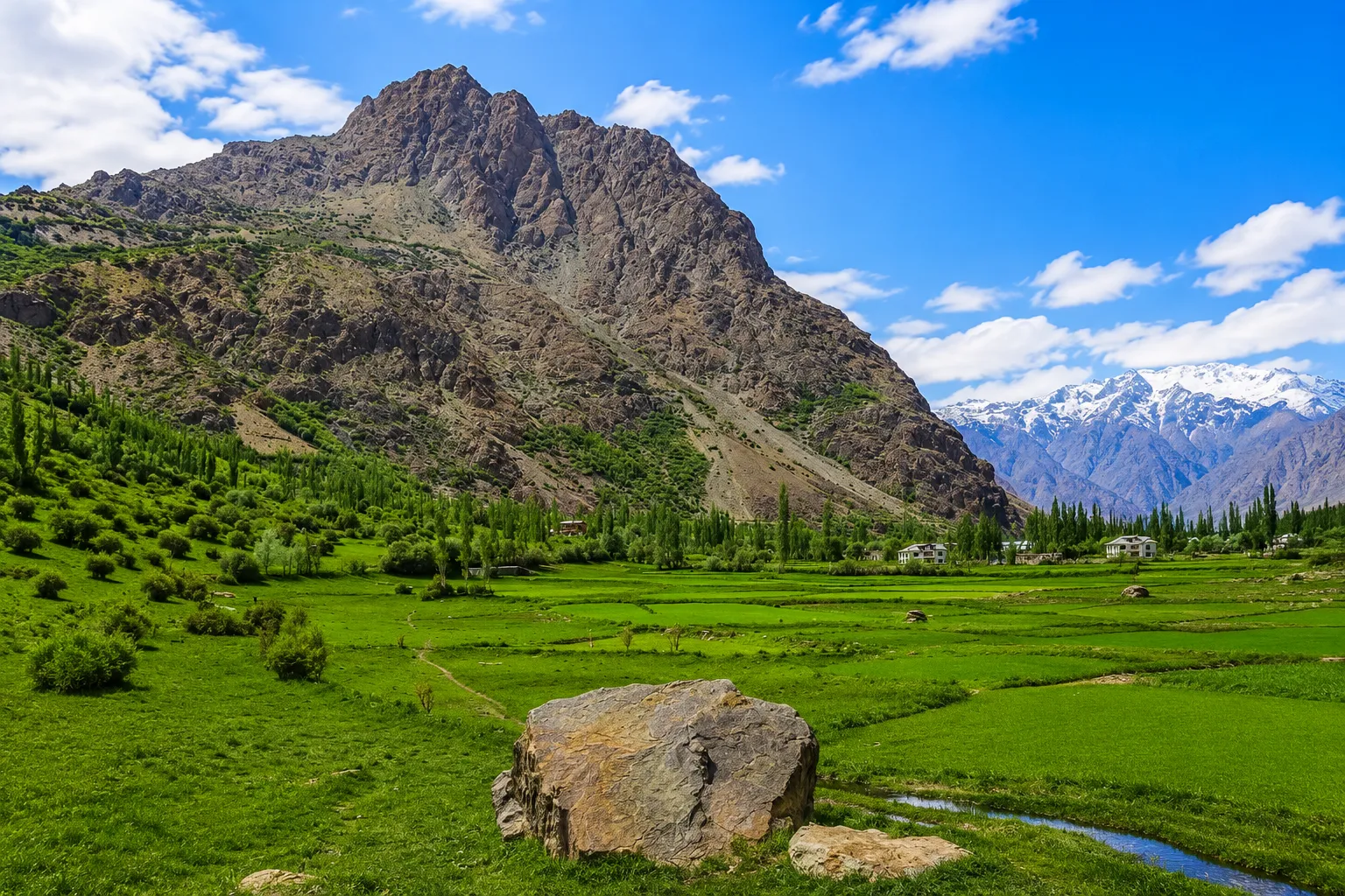
Read Guide →Exploring the stunning kargil valley landscape reveals hidden gems like the lush suru valley. When planning your suru valley ladakh itinerary, note that the kargil to suru valley distance is about 95 km to Panikhar, winding past the majestic Nun Kun glacier peaks. Whether you want to hire custom leh ladakh kargil tour packages or embark on a self-drive adventure, the suru valley kargil region offers unparalleled photography spots and authentic village homestays.
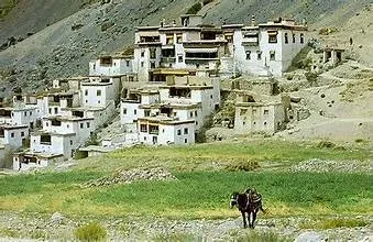
Known as the gateway to Ladakh, drass is a must-visit destination. Visitors often check the drass weather and drass temperature today before setting out, as drass ladakh can experience rapid climate shifts. For history enthusiasts, the museum at hunderman village (located just 10 km from Kargil) offers a moving look at local border heritage. From Kargil, you can cross Pensi La pass to descend into the majestic zanskar valley, home to ancient cave monasteries and frozen river winter treks.
An extensive guide detailing road conditions, fuel stations, homestays, and sightseeing options while traveling along the Suru River up to Pensi La pass.
Read Guide →Known as the "Land of White Copper," Zanskar is a remote valley surrounded by snow-capped mountains, ancient Buddhist monasteries, turquoise rivers, and dramatic gorges. Discover its history, culture, routes, and attractions in this ultimate travel guide.
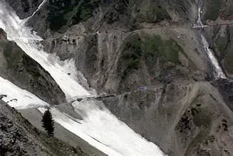
Read Article →Crucial tips for self-driving or riding across the infamous Zoji La pass. Learn about timing limits, truck movements, and landslide warning signs.
Read Advisory →The Zanskar range is situated in the Union Territory of Ladakh, India. It separates the Zanskar Valley from the main Indus Valley. Prior to October 2019, it was part of the state of Jammu and Kashmir.
There are two primary driving routes to reach Zanskar Valley:
The closest commercial airport is in Leh (Kushok Bakula Rimpochee Airport).
Kargil is situated in the Suru Valley. It lies along the banks of the Suru River (a tributary of the Indus River) at an average elevation of 2,676 meters.
Drass is located in the Kargil district of the Union Territory of Ladakh, India. It is situated on the National Highway 1D (NH-1) connecting Srinagar and Leh, and is known as the Gateway to Ladakh.
Ladakh ki rajdhani Leh aur Kargil hain. Leh and Kargil serve as the joint capitals and administrative headquarters of the Union Territory of Ladakh.
Ladakh is located in the northernmost part of India, bounded by the Karakoram and Great Himalayan ranges. It is not a state but a Union Territory of India, created on October 31, 2019.
Due to the arid cold desert climate, tree growth is sparse. The primary trees that grow in Ladakh are:
The mountain range which separates Kashmir from Ladakh is the Great Himalayan Range. Travelers cross this range via the Zoji La pass on the Srinagar-Leh highway.
Tourists are mainly attracted to Ladakh by:
The best time to visit Kargil and Ladakh is from June to September. During this summer season, major highway routes (Srinagar-Leh and Manali-Leh) are fully cleared of snow and open to traffic, temperatures are comfortable (15°C to 25°C), and high-altitude treks are completely accessible.
No Inner Line Permit (ILP) is required for domestic Indian tourists visiting Kargil town, Drass, or Zanskar Valley. However, permits are required to visit protected border zones like Nubra Valley, Pangong Tso, and Tso Moriri.
There are exactly two districts in the Union Territory of Ladakh: Leh and Kargil. Both districts have their own local autonomous hill development council coordinates.